Urban Planning
Economic insights on the lowest levels
Urban Planning with GeoPulse
GeoPulse provides a powerful foundation for data-driven urban and rural planning across Europe. With over 12 million geocoded Points of Interest structured into 12 categories—from Retail & Shopping to Transport & Mobility—the platform offers a multidimensional view of local environments. Combined with granular demographic and economic data, planners gain deep insight into the dynamics of cities, towns, and rural regions. Whether optimizing infrastructure, guiding development, or balancing land use, GeoPulse delivers the intelligence needed to shape resilient and inclusive environments.
City Monitoring
Track urban change in real time using POI data across all 12 categories, including Public Services, Health & Wellness, and Financial Services. GeoPulse enables monitoring of population shifts, commercial density, income levels, and housing trends—down to 800-meter hexagonal units. This supports proactive decision-making for zoning, mobility, and public services.

Tourism Analysis
Understand the spatial behavior of tourists by analyzing POI clusters in categories like Tourism & Leisure, Food & Beverage, and Accommodation. GeoPulse helps cities identify high-traffic zones, optimize visitor infrastructure, and balance tourism with local needs. Benchmarking against similar destinations reveals untapped potential and overexposed areas.

Land Use & Rural Economics
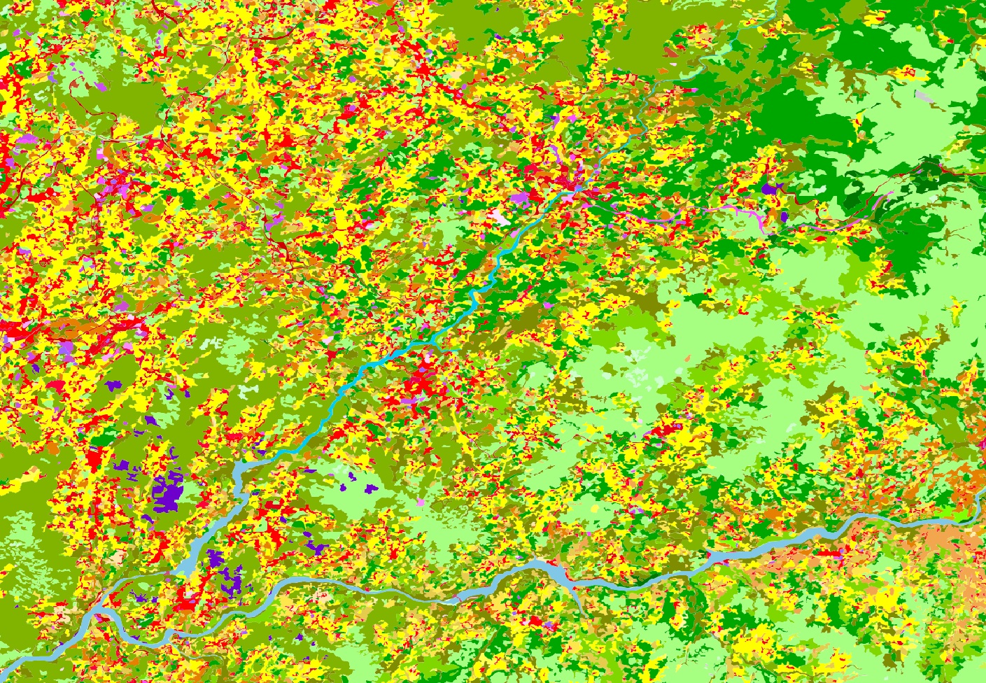
GeoPulse extends beyond urban cores into rural and agricultural zones, offering insights into POIs related to Industry, Agriculture & Land Use, Outdoor & Recreation, and Nature. Planners can assess the balance between agriculture, nature, and development, and compare rural regions based on shared characteristics. This supports sustainable land management and rural revitalization.
